
PLANS, ELEVATIONS & SECTIONS
What if you could see through walls? Architects and designers can — using three magic views that reveal everything about a space.
CORE CONCEPT
IMPORTANCE OF PLANS, ELEVATIONS & SECTIONS
KEY KNOWLEDGE
1
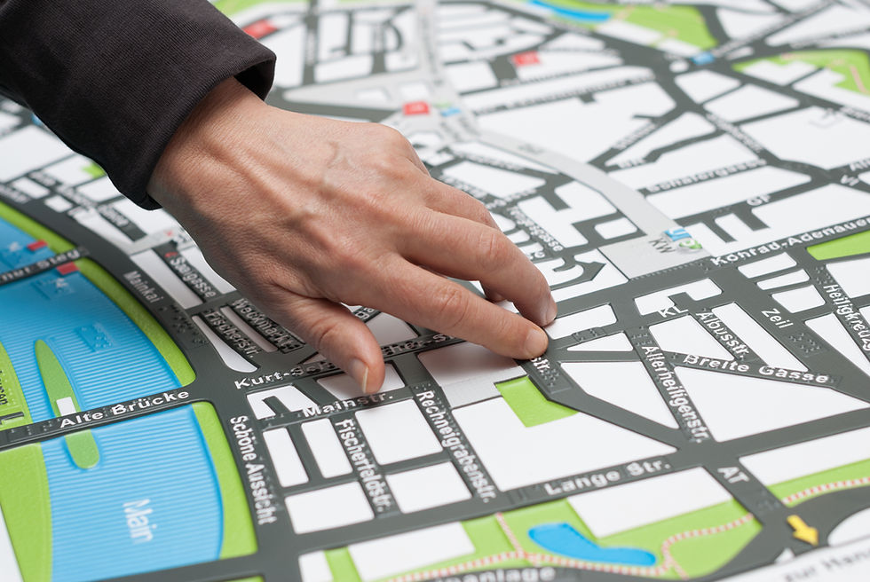
Plan: the view from directly above, looking down. Shows layout, arrangement, distances, and movement paths

REAL WORLD EXAMPLE
Imagine you’re a bird flying directly over your house and the roof is removed. You look straight down and see: the walls forming rectangles, the bed in one corner, the table against a wall, the path from the door to the kitchen. That bird’s-eye view is a plan. It shows you WHERE everything is on the ground, how far apart things are, and which way you’d walk through the space. It’s the most common architectural drawing — every house you’ve ever been inside started as a plan on paper.
2
Elevation: the view from the side, looking straight at one face. Shows heights, windows, doors, and vertical proportions

REAL WORLD EXAMPLE
Stand across the street from your school building and look at the front face. What you see is the elevation: the front door, the windows on each floor, the name board above the entrance, the roofline at the top. An elevation is like a portrait of a building’s face — it shows you what the building LOOKS LIKE from one direction. Architects draw four elevations (front, back, left side, right side) to show what the building looks like from every angle.
3
Section: a cut through the building, revealing the interior. Shows how spaces connect, ceiling heights, and vertical relationships

REAL WORLD EXAMPLE
Imagine taking a giant sword and slicing your house exactly in half from top to bottom, then looking at the exposed inside — like cutting a sandwich to see the layers. You’d see: the ground floor with its ceiling, the stairs going up, the first floor, the roof above. Rooms that sit on top of each other. Pipes running through walls. That’s a section view. It shows you the INSIDE of a building — the hidden stuff you can’t see from a plan or elevation. It’s the X-ray of architecture.
4
These three views are the universal language of spatial design — architects, interior designers, and spatial planners use them daily

REAL WORLD EXAMPLE
An architect in India can send a plan, elevation, and section drawing to a builder in any country, and the builder will understand exactly what to construct — even without speaking the same language. These three views are like the ABCs of spatial communication. Just as musicians everywhere read the same musical notation, spatial designers everywhere read plans, elevations, and sections. It’s a universal visual language that’s been used for centuries.
5
Plans are like maps of the inside of a space — they tell you how to move through it
REAL WORLD EXAMPLE
When you open Google Maps inside a big mall, it shows you a floor plan: stores as coloured rectangles, corridors as paths, elevators as icons. That’s a plan being used as a navigation tool. If someone hands you a plan of a new building, you can trace a route with your finger from the entrance to any room. You can see which rooms connect, which corridors lead where, and how the space flows. A plan is a movement map of the interior.
6
Elevations are like portraits of a building’s face — they tell you what it looks like from outside
REAL WORLD EXAMPLE
Look at those cutaway illustrations of ships or spaceships in books — where the outer shell is removed and you can see every room, every level, every staircase inside. That’s a section. It reveals the feeling of being inside — how tall the ceilings are, how the levels stack, how stairs connect floors. A plan can’t show ceiling heights. An elevation can’t show the interior. But a section shows BOTH — that’s why architects call it the most “magical” of the three views.
7
Sections reveal the hidden interior — they tell you what it feels like to be inside

REAL WORLD EXAMPLE
Before a game like Minecraft or PUBG creates a playable map, a designer draws a top-down plan: where are the buildings? Where are the open fields? Where are the corridors and hiding spots? That plan determines the gameplay — narrow corridors create tense fights, open fields create sniper battles, complex room layouts create exploration. Game level designers are basically architects of virtual spaces, and they start with the same tool: a plan drawn from above.
8
You don’t need to be an architect to benefit from this thinking — even planning a room layout uses plan-view thinking

REAL WORLD EXAMPLE
Next time you see a construction site in your neighbourhood, notice the big printed drawings the builders are looking at. Those are floor plans — the plan view of every floor, showing exactly where every wall, door, window, and pipe goes. Not a single brick is placed without a plan. Even the smallest chai stall renovation starts with someone sketching where the counter goes, where customers stand, and where the stove sits. The plan always comes first.
Pro Connection
Architects present plans, elevations, and sections together to communicate a complete design. Interior designers use floor plans to plan furniture layouts. Exhibition designers use sections to show how visitors move through vertical spaces. Even event planners use floor plans to arrange seating and stages. When someone says “show me the plan,” they’re asking for the top-down view that reveals the layout.
PROFESSIONAL TERMINOLOGY
CLICK TO REVEAL and CLICK TO COVER
A drawing of a space seen from directly above — showing the layout of walls, furniture, doors, and movement paths
What is
PLAN
A drawing of one face of a space or object — seen from the side, showing height and vertical features
What is
ELEVATION
A drawing showing a space cut through the middle — revealing the interior layers and vertical connections
What is
SECTION
A plan specifically showing one floor of a building — the most common type of architectural drawing
What is
FLOOR PLAN
A traditional name for technical drawings used in architecture and construction — historically printed in blue
What is
BLUEPRINT
THE DIMENSION SWITCH
Architects live inside this challenge every single day — translating a flat drawing into a space you can walk through. Today you try it yourself, with a pencil and your phone.
what TO DO
Choose any room you're currently in or know very well.
Draw a simple floor plan (the 2D view from directly above): show the walls as lines, the furniture as simple shapes, and the doors as gaps. Rough sketching is completely fine — it doesn't need to be precise.
Take a photo of the same room from a corner (the 3D view as your eyes see it).
Compare your 2D drawing with your 3D photo.
Ask yourself: what does the plan show that the photo doesn't? What does the photo capture that the plan misses?
what TO SUBMIT
1 Drawing + 1 Photo | Your hand-drawn floor plan (photographed or scanned) and your 3D corner photo of the same room. |
Text | "The plan shows [specific information — layout, distances, arrangement] that the photo doesn't." "The photo captures [specific information — atmosphere, height, texture, light] that the plan misses." Then: "Moving between 2D and 3D thinking is useful for designers because [observation]." |
CHALLENGE
DISCOVERY
You can use these SOFTWARES for this Discovery Challenge
FREE SOFTWARE : Pen and Paper + Phone Camera, Sketchbook by Autodesk, Google Keep, Canva
PAID SOFTWARE : Procreate Pocket, Concepts